Environmental Intelligence for Indonesia
A platform for visualizing public geospatial data. We transform complex scientific information into interactive maps and AI-driven insights for agriculture, maritime, and urban sectors.
Our Platform & Services
We provide tools to interpret and act on environmental data through a suite of focused mapping applications.
Data Interpretation
Our platform processes raw data from public scientific sources and presents it on interactive maps, making it easier to identify patterns and trends in your area of interest.
AI-Generated Summaries
Using generative AI, our applications can provide contextual summaries and activity plans based on the map data, helping you to understand the information and make informed decisions.
Sector-Specific Tools
Each of our applications is designed for a specific purpose, from analyzing key soil metrics for agriculture to monitoring wave parameters for maritime safety and planning.
Tanam Sehat
A suite of tools for the modern agricultural sector, providing data for informed decision-making.
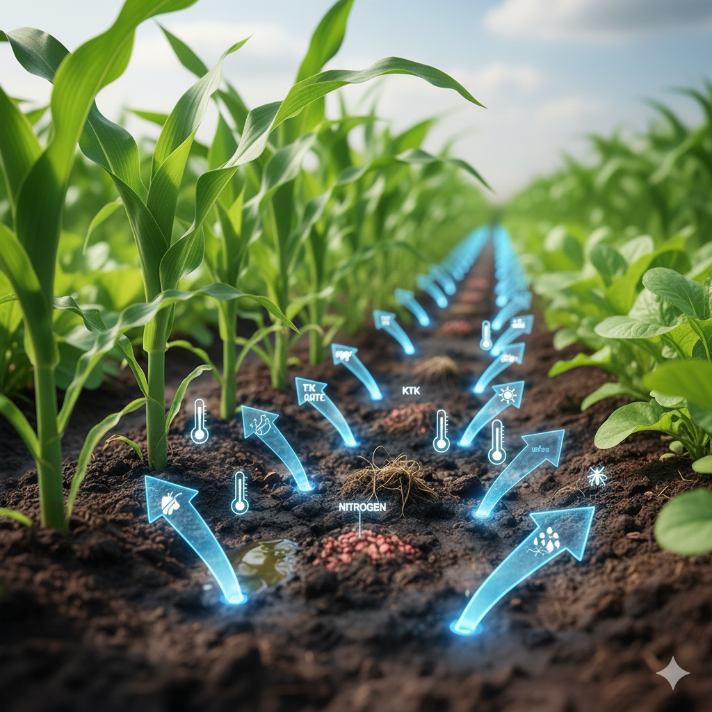
Smart Soil Analysis
Access visualizations of key soil metrics including pH, nitrogen, soil organic carbon, and cation exchange capacity to assess land fertility.
Agrometeorology Forecast
View agricultural weather forecasts including precipitation probability, wind speed, solar radiation, and evapotranspiration for better activity planning.
Pest Distribution Map
Identify potential pest risks by exploring historical and observational data maps. Get AI-generated summaries on pest management and seasonal analysis.

Laut Cendekia
A collection of applications for maritime industries, focusing on safety, efficiency, and environmental monitoring.
Fishery Zone Map
Explore historical marine species occurrences on an interactive map. Generate AI-powered activity plans for observation, fishing, or research for a target organism.
Marine Weather Analysis
Analyzes forecasts for significant wave height, peak period, and sea surface temperature to assess maritime safety for navigation, fishing, or recreation.
Flood Risk Assessment
Evaluates coastal and riverine flood risk by visualizing river discharge forecasts, including mean, median, and percentile data for a selected point.
Marine Biogeochemistry
Monitor key indicators of ocean health including chlorophyll, dissolved oxygen, nitrate, and phosphate levels for environmental assessments.
Urban Environment
Providing environmental data for urban planning and public health awareness.
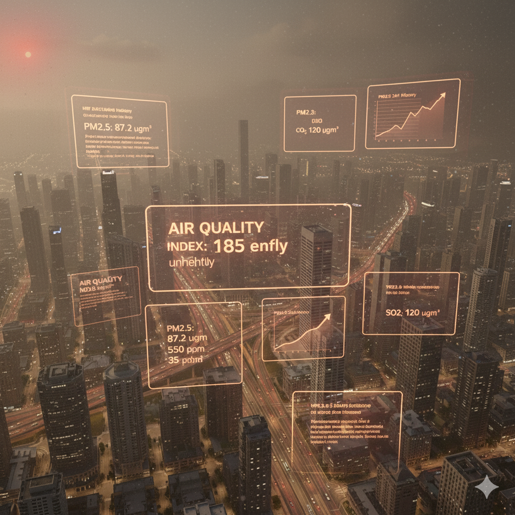
Air Quality Monitoring
Track current and forecast levels of key air pollutants such as PM2.5, PM10, Ozone, Carbon Monoxide, and Nitrogen Dioxide for any selected location.
Explore Our Marketplace
Find the tools, products, and expert services you need to complement your data-driven decisions.
Physical Products
From advanced soil testing kits and custom fertilizer blends to IoT sensors and agricultural tools, find everything you need to put your environmental data into action.
- Seeds & Amendments
- Sensors & Devices
- Tools & Accessories
Expert Services
Connect with professionals for detailed lab analysis, on-site field consultations, sensor installation, and specialized digital services to maximize your operational efficiency.
- Lab Analysis & Consultation
- Device Installation & Training
- Digital & Logistics Services
Powered by Public Data APIs
Our platform integrates data from globally recognized open-data providers.

Flexible Plans for Everyone
Choose the right plan for your needs, from casual exploration to enterprise-level analysis.
Free
For casual users & students.
Rp 0
- Limited data parameters
- 3,000 tokens/day
- No Support
- No My Dashboard
Starter
For enthusiasts & researchers.
Rp 49k/mo
or Rp 490k annually
- Limited data parameters
- 5,000 tokens/day
- Full Support
- My Dashboard
Most Popular
Professional
For small teams & businesses.
Rp 99k/mo
or Rp 790k annually
- All data parameters
- 10,000 tokens/day
- Full Support
- My Dashboard
Enterprise
For large organizations.
Custom
- All Professional features
- 20,000+ tokens/day
- Custom features & locations
- Private features for Gov/Edu
What Our Clients Say
"With Tanam Sehat, we can increase crop yields by up to 30% while reducing fertilizer use. This platform has truly changed the way we farm."

Budi Santoso
Agricultural Manager, PT Agri Makmur
"Laut Cendekia helps our fleet save up to 15% on fuel with more efficient routes. The fish zone prediction is very accurate and increases our catch."

Sari Dewi
Maritime Logistics Head, PT Samudera Jaya
"Air quality data from Peta Cendekia helps our city make data-driven environmental policies. Now we can respond to pollution more quickly and accurately."

Ahmad Rizki
Environmental Officer, DKI Jakarta
"The predictive analytics for flood mitigation have been invaluable. Peta Cendekia gives us the foresight we need to protect our coastal communities effectively."

Rina Wulandari
Disaster Management Agency
Frequently Asked Questions
What data sources do you use?
Our applications primarily use publicly available data from established scientific APIs. This includes meteorological data, soil data, and species occurrence data from reputable open-data providers. We focus on processing and visualizing this existing data in an accessible way.
How up-to-date is the data?
The timeliness of our data depends on the source API. Weather forecasts are updated frequently, offering near real-time insights. However, data for species distribution or soil properties is based on historical observations and surveys, so it reflects long-term patterns rather than live conditions.
Can I rely on this for critical decisions?
Our platform is designed as an informational and decision-support tool. While we use reputable data sources, the information should be used to supplement, not replace, professional judgment and on-the-ground verification. Data accuracy and resolution can vary by location and the constraints of the source API.
What are tokens and how are they used?
Tokens are units used to measure the usage of our AI-powered features. Each time you request an analysis, summary, or recommendation from the AI, it consumes a certain number of tokens. Our paid plans come with a daily token allowance to power these insights.
How do I access "My Dashboard"?
The "My Dashboard" feature is available for all our paid subscribers (Starter, Professional, and Enterprise plans). Once you subscribe and log in, you will find the link in the dropdown menu under your profile picture. It allows you to track your token usage and manage your account.
What kind of support is offered for paid plans?
All our paid plans (Starter, Professional, and Enterprise) include full support via email and WhatsApp during business hours. We are here to help you with any questions about using the platform or interpreting the data. Enterprise clients may receive dedicated support channels based on their agreement.
Can I request a new feature or a specific location to be monitored?
Custom feature requests and the addition of specific monitoring points are exclusive benefits for our Enterprise plan clients. This allows us to work closely with large organizations, government bodies, and educational institutions to tailor the platform to their unique needs. Please contact us to discuss possibilities.
Visitor Statistics
Soil
0
Meteorology
0
Pest
0
Fishery
0
Wave
0
Flood
0
Biogeochemical
0
Air Quality
0